What’s the highest point in the Netherlands? It’s Mount Scenery in the Caribbean standing at 2,910 ft. Are you confused yet?
This all makes perfect sense, because the island of Saba is a Dutch territory! In addition to Saba Island, the Dutch Caribbean also includes Bonaire, and Sint Eustatius. In case you are ever in a trivia contest, this Netherlands Caribbean tidbit is a gem!
Saba is a unique, small island that has a geography and personality different from its Caribbean neighbors. It rises out of the water abruptly and looks so exotic and mystical when you fly towards it you’ll be convinced that King Kong lives there. At only 5 square miles, it packs a big punch when it comes to hiking.
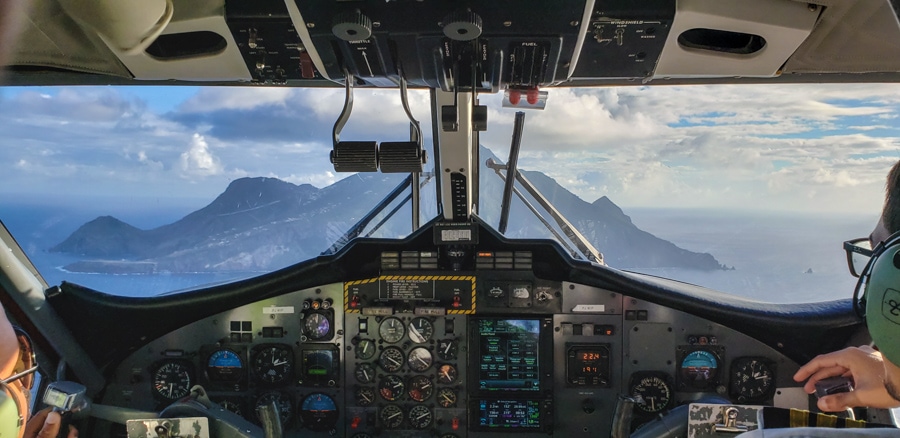
Table of Contents
Hiking in Saba Island Ecosystems
It seems that there is a lot of confusion regarding the exact number of ecosystems on the island. I was told there were 7, I read other accounts naming 5, and sometimes I read there were 3. Regardless of how many there are – I think everyone can agree that there are far more ecosystems than normal on a little 5 mile square island.
I’m going to go with 3 ecosystems…why?
Because I hiked in those 3 ecosystems! Plus, these three are quite distinct from one another and will offer you the largest hiking variety; coastal/tide pool, dry forest and rain forest.
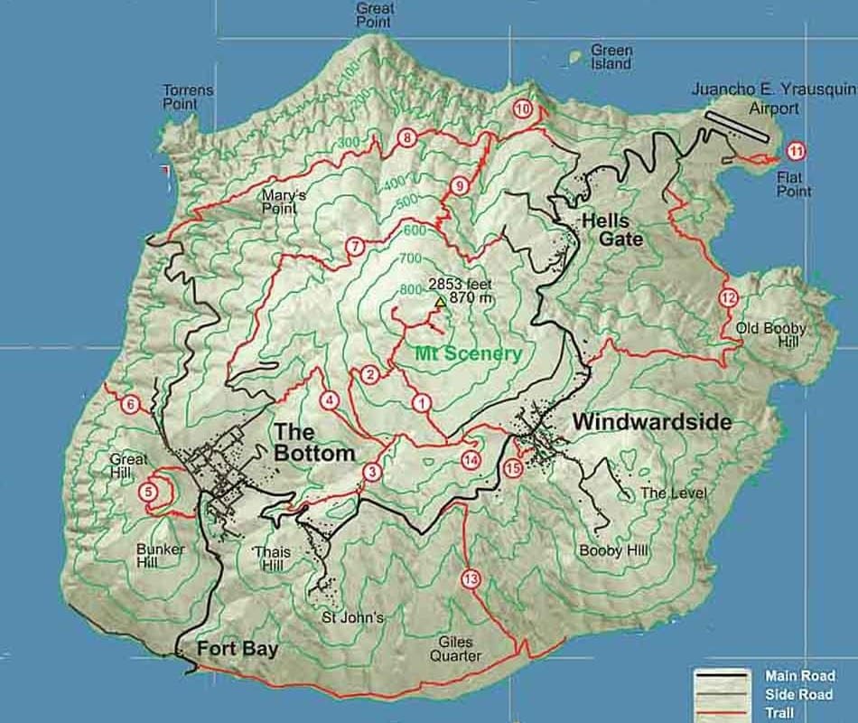
There are miles and miles of trails on the island and you can bet all of them have some significant up and down. Most are signposted and cared for well. Saba’s hiking trails are the original footpaths used for hundreds of years before ‘The Road’ was created; they led to villages and down to the water for shipments. In fact one of the most difficult ones is called The Ladder because it is so steep; it was the old trail used to bring in shipments and goods before the road and harbor was built. I was told they used to carry pianos up the steep steps!
You can see all of the Saba trails here or check out the interactive hiking map here.
Where to Start Your Saba Hiking
Saba Trail Shop
The best place to start is at the Saba Trail Shop. You’ll find this helpful shop in the Windward Side near the foot of the Mt. Scenery Trail. They can help you sort out your hiking plans, give you maps, and even provide a whistle! They also suggest that you sign in/out if you are hiking alone (its good practice to do it anytime really).
The trail shop also provides information on guided hikes. The Saba Conservation Foundation’s (SCF) Trail Manager James ‘Crocodile’ Johnson leads groups on guided hikes, that can be organized in advance by visiting or calling the Trail Shop at (599)416-2630.
I actually did all of my hikes with Crocodile James – who made for an interesting trail partner! The 68 year old is an icon on the island. He can trace his Saba family back to 1661 and the Mary’s Point settlers. Once I got used to his unusual Saban accent, he regaled me in stories and history of the island! He said locals gave him the name Crocodile James because he does things ‘more crazy things than Crocodile Dundee’. He also mentioned that he nearly got attacked by a caiman once; don’t worry though, there are no caiman on Saba! However, when he told me that he had a 38 year old girlfriend, I started referring to him as Cougar James!
Don’t Leave Withough This Essential Hiking Gear
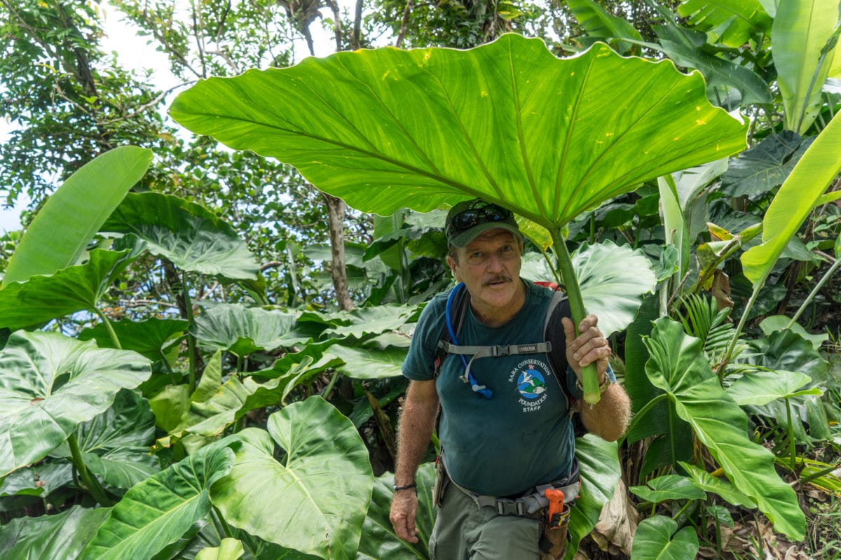
I’ve hiked all around the world and have found some key gear that I take on every hike for every kind of weather. From backpacks to socks, check out my list of the best hiking gear out there!
Saba Conservation Foundation
You may also want to start your Saba hiking research with the Saba Conservation Foundation; is a nongovernmental organization established in 1987 with a mission to preserve and manage Saba’s natural and cultural heritage. They are responsible for trail management as well as the Saba National Marine Park management. I also hiked with Kai Wulf, the Director of SCF to learn more about the hiking trails and management. He’s originally from Germany but has called the Caribbean his home for years. He’s also an avid photographer and took me to some hidden spots for photography on the island!
Hiking In Saba’s Ecosystems
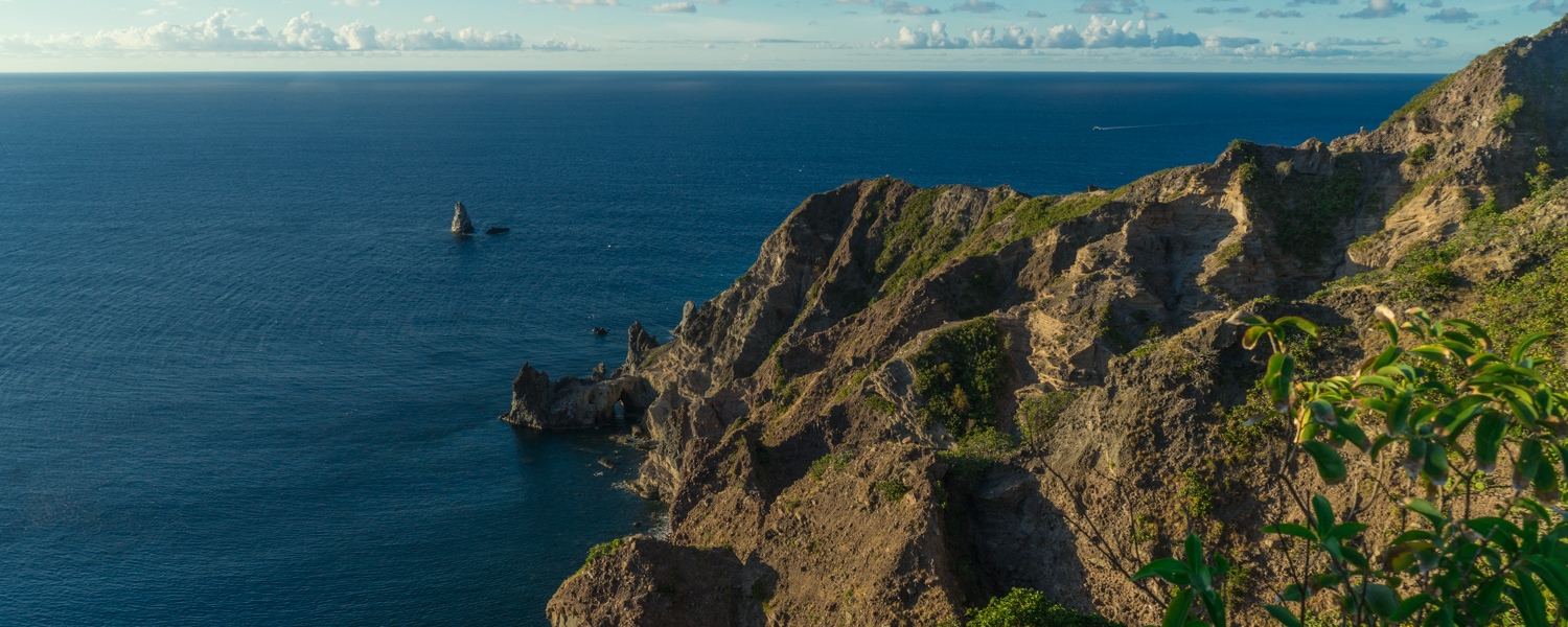
One of the coolest things about the small island is you can actually do all 3 of these hikes and ecosystems in the same day if you have a lot of energy! Start at the tidal pools in the morning, then head to Sandy Cruz trail and finish with a sunset hike at Mary’s Point.
Coastal/Tide Pool Hiking
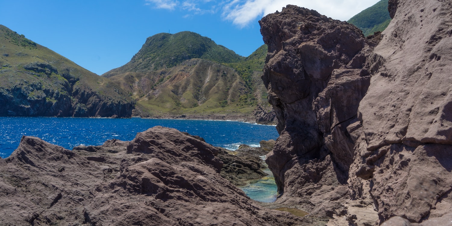
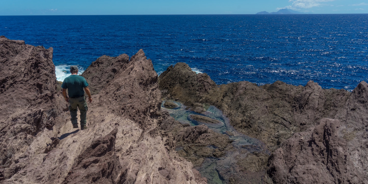
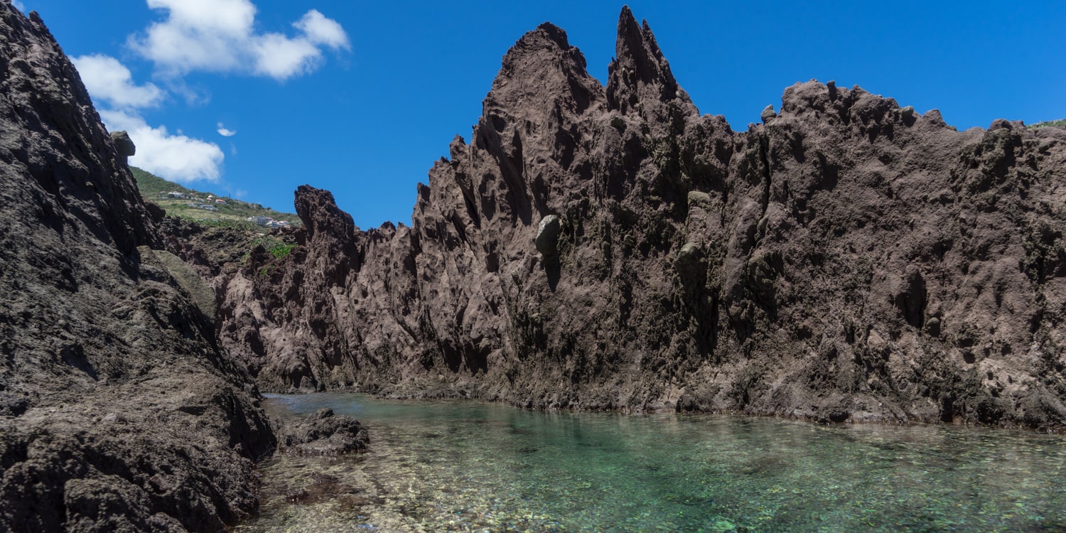
Located in Flatpoint at the airport (the runway is the only flat area on the island!), this hike is more of a scramble than a hike. This is the only part of the island where it will be brown and feel like a dry desert. I suggest you do this hike in the morning since there are no trees to provide shade from the heat. You’ll scramble over sharp, jagged pinnacles of volcanic rock, and if that wasn’t enough of a challenge, be ready to also dodge the crashing waves as you move further out onto the rocks.
This is where you’ll get to really understand the origin of Saba; the lava formations indicate a tumultuous beginning. The lava rocks are now home to a lot of sea life and beautiful, clear tidal pools. I loved hiking around the jagged lava formations searching for sea urchins in the pools! And when you turned around and looked up at the island, you could see all of the different ecosystems as if Saba was a layer cake!
Rain forest Hiking
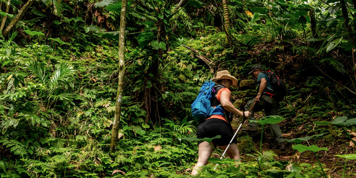
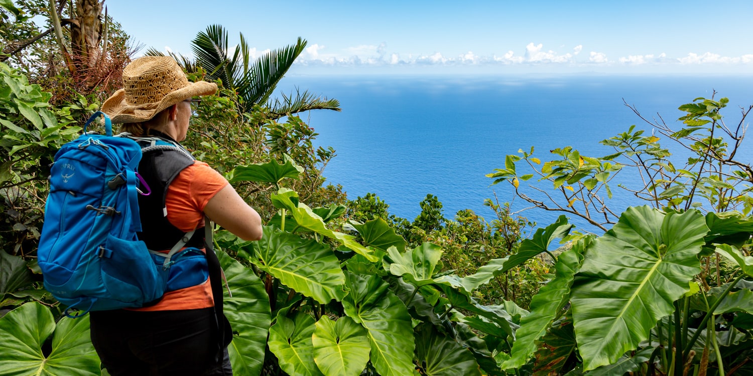
Crocodile James took me to the Rain forest on the Sandy Cruz trail for the 2nd hike of the day. It’s located in the middle of the island from a vertical standpoint. It didn’t take us long to get swallowed up in the dense rainforest, surrounded by green everywhere! This was a mossy up and down hike that is considered more difficult. The trail connects Upper Hells Gate to Troy Hill and will take 2 to 3 hours to complete. It’s full of stunning lookouts and views as you occasionally pop out of the rain forest foliage along the trail.
We had limited time so we walked about halfway to the airport lookout and then turned around and came back. I had a clear sunny day to hike, but if it was rainy, I imagine the trail would be hard to navigate and quite slippery with all of the mossy rocks. James entertained me by pointing out giant (and useful) flora and fauna, and telling stories of pirates!
Dry Forest Hiking
For sunset, I headed to a newly refurbished trail, Mary’s Point, with Crocodile James and Kai from the SCF. Mary’s point was up, up, up through the dry forest, a completely different feel than the rain forest! Originally called Palmetto Point – it was the first settlement formed on Saba in the early 17th Century. It got the name Mary’s Point because Mary lived right on the point with her family and she was the first person you met in the village when visitors came. Plus, she seemed to also have the best cistern in that whole village, which also meant she had the all the power in the village. In the 17th century, a water source equaled power.
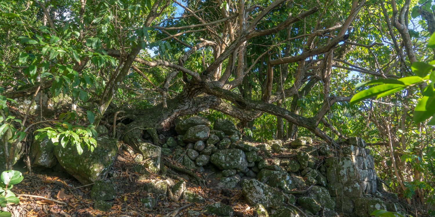
In 1934, due to heavy erosion in the area, residents of Mary’s Point were relocated to the Promised Land (The Windward Side). The houses were taken down completely, apart from the basements and rebuilt at their new location. But the foundations and the cisterns were left behind. James and Kai took me around the ruins of the abandoned village pointing out shards of pottery and telling stories of pirates, scientists, and drug smugglers! The two could have been a comedy act I was laughing so much.
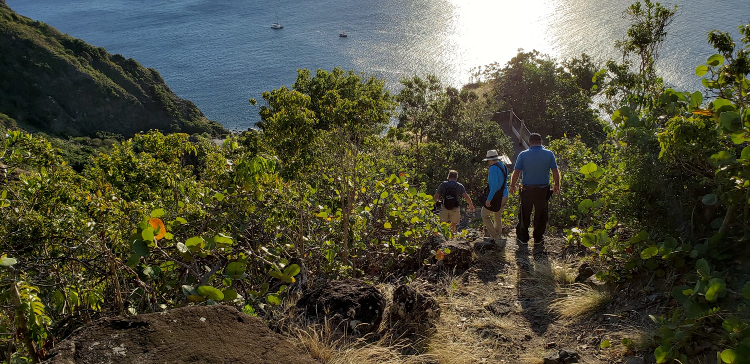
Mary’s Point trail was just overhauled last year; they added steps and ropes to the steepest areas. I was quite impressed with the trail management by the SCF. Thanks to my fear of heights, I would’ve never been able to do the trail without these things! In fact, Saba hotels collect a $1 nature fee per night for the trail upkeep.
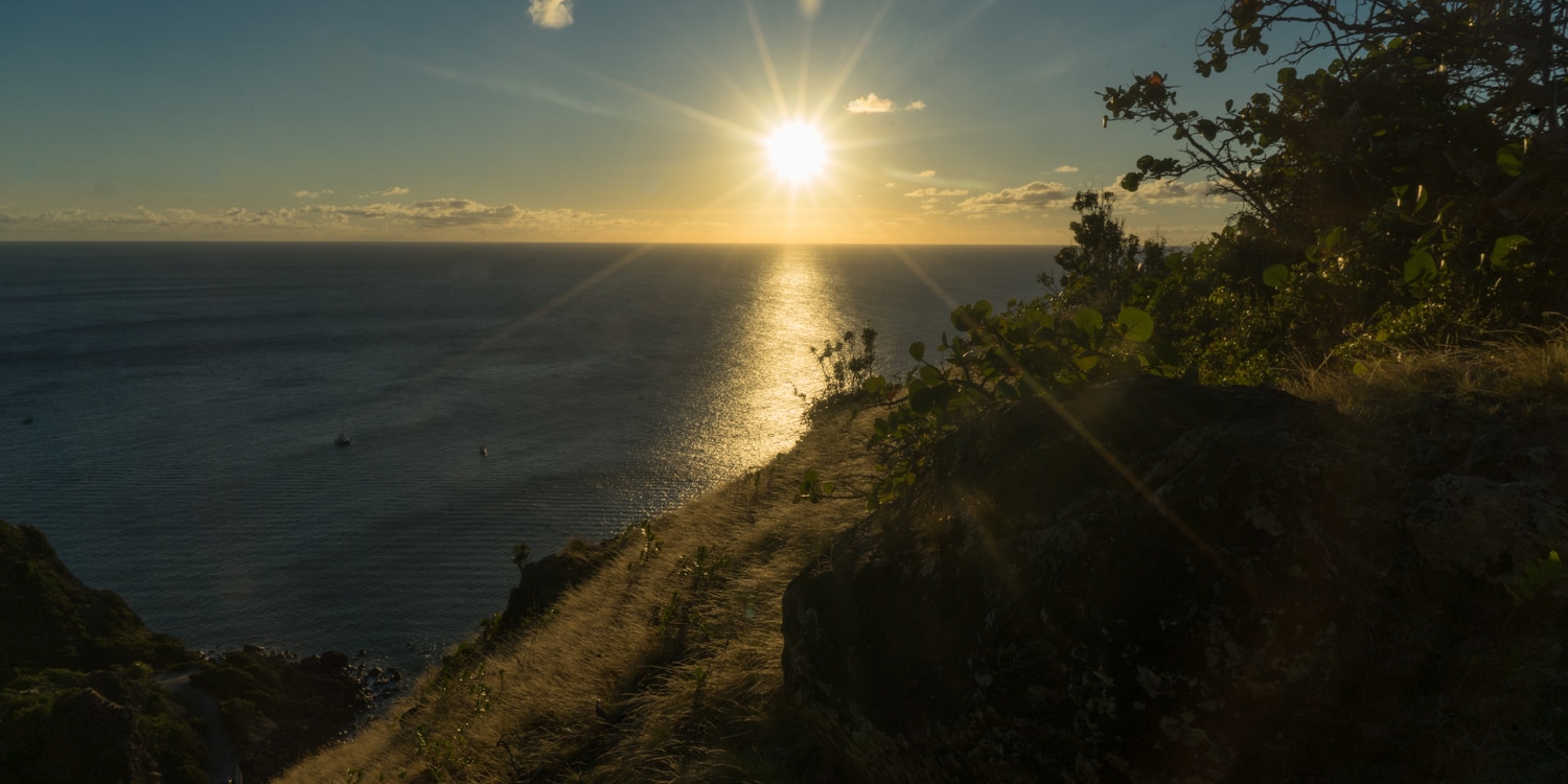
Be sure to hike up the ruins and then start back down before sunset to stop at the viewing point above Wells Bay to watch (and photograph) the sun go down!
Mt. Scenery Stairway and Hike
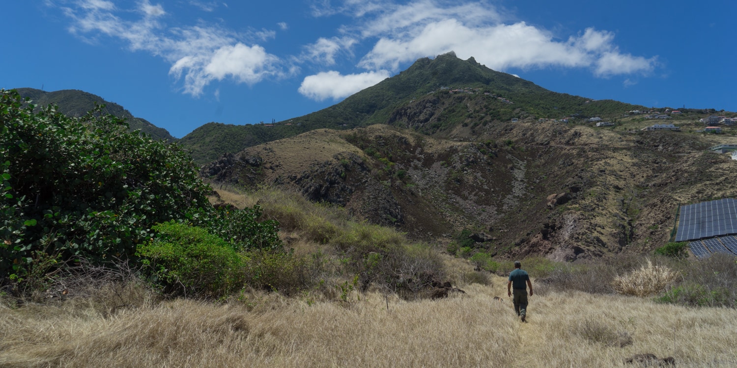
Even though I didn’t have time to do the famous hike up Mt. Scenery, try to fit it in if you can as it takes you up through another sub ecosystem – the Cloud Forest! Be ready for steps, there are 1,064 of them! The trail starts behind the Trail Shop on the Windward side and will climb to the highest spot in the Netherlands!
If there are no clouds hanging around the top, you’ll be treated to beautiful views of St Maarten, St. Eustatius, St Kitts and Montserrat. However – don’t get too excited about the view – 80% if the time the mountain is engulfed in clouds!
After a full day of hiking through all of the ecosystems, you’ll earn yourself a dip in the pool and drink at Juliana’s Hotel! And you’ll be able to say that you hiked to the highest point in the Netherlands!
Hiking Tips for Saba Island
- Leave no Trace – leave the trails cleaner than what you found it
- Hiking poles are a good option since there is nothing flat on Saba! They can also be rented at the Trail Shop
- The trails are often slippery (especially in the rain forest) and mossy. I used Oboz Sawtooth shoe – a low hiking shoe with an exceptional grip and support for rain forest hiking
- Bring lots of water – it can get really HOT – it is the tropics after all!
- All trails are on private land, and we are allowed to use the trails because of the landowners’ generosity. Please respect the rights of the landowners and do not wander off the trails.
Follow my Travels
Disclosure:
I was a guest of Saba Tourism during my stay on the island. However, all opinions expressed here are my own.


By John Flemming July 4, 2019 - 8:05 am
Thank You so Much For Sharing This Nice Information About Saba Island with Nice
Your Picture.
By Susan Portnoy July 8, 2019 - 1:54 pm
Had such fun with you on Saba. We have to do another trip soon.
btw.. whoever took those pics of you is fabulous. Ha!
By Simon July 15, 2019 - 6:32 am
Seems like an amazing place to hike.
Loved it.
The captures are beautiful.
By Markus July 16, 2019 - 8:47 am
Simply amazed!
Loved reading throughout.
By Shweta Sharma July 22, 2019 - 7:58 am
Great content as usual – actionable stuff!
By Trip to the Wild July 31, 2019 - 8:43 pm
Looks like a place I need to visit and hike. Has the island’s culture been affected by tourism like some of the well known islands in the Caribbean?
By Linda McDaniel September 19, 2019 - 3:58 pm
Can you recommend a travel guide/agency that is familiar with the necessary arrangements to visit Saba Island, please?
By Survival techie May 17, 2020 - 1:00 pm
This looks amazing and almost untouched! I really need to put this on my list of destinations. Would you say a guide is necessary?
By Sherry May 17, 2020 - 10:43 pm
No – guide isn’t necessary. However it’s nice if you want to learn more about the island and ecosystems mainly. The trails are well marked!